Saona Island Freshwater: How Rainfall, Springs and Underground Water Shape the Island
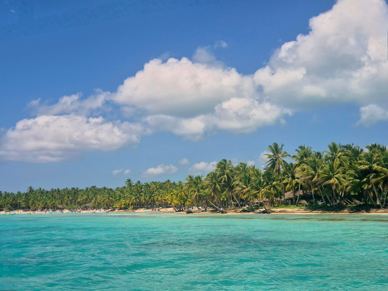
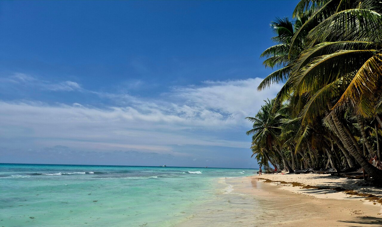
Saona Island is known for its beaches, coastal scenery and tropical environment. Yet one of the island's most interesting natural features is much less visible: the way freshwater moves through its landscape.
On a small Caribbean island, freshwater is a valuable natural resource. Rainfall may enter the ground, move through porous rock and emerge through springs rather than forming large rivers. The underlying geology can therefore influence how water is stored, transported and released.
The protected-area description for Cotubanamá National Park, which includes Saona Island and surrounding marine areas, describes a landscape underlain by porous coastal limestone. It also notes the absence of rivers and streams in the park's interior and the presence of springs supplied by rainfall and underground water.
UNESCO World Heritage Centre
These characteristics make Saona Island an interesting place to understand island hydrology.
This guide explores the freshwater cycle, limestone drainage, groundwater, springs, coastal saltwater intrusion and the importance of protecting freshwater resources. It distinguishes documented features of the wider protected area from general scientific explanations; it does not claim that a particular spring or freshwater supply is available to visitors.
1. Why Freshwater Matters on a Caribbean Island
Freshwater is essential for people, plants and terrestrial ecosystems. Unlike a large continental region, a small island has limited land area in which rainfall can collect and be stored.
The surrounding sea contains abundant water, but seawater is not directly suitable for ordinary drinking or irrigation without appropriate treatment.
An island's freshwater environment may depend on several connected processes:
- Rain falling on the land.
- Water entering soil and rock.
- Groundwater moving through underground openings.
- Springs releasing groundwater at the surface.
- Evaporation returning water to the atmosphere.
- Vegetation using water through its roots and releasing moisture through transpiration.
The balance between these processes affects how much freshwater is available within an island environment.
For Saona Island, the geology is particularly relevant because the protected-area documentation describes highly porous limestone and a landscape with strong drainage capacity.
UNESCO World Heritage Centre
2. What the Protected-Area Documentation Says About Saona Island's Water
The UNESCO Tentative List description of Cotubanamá National Park provides useful background about the area's natural environment.
It explains that coastal limestone forms part of the underlying geology and contains openings and material associated with ancient coral deposits. The document describes the park's interior as lacking rivers, streams and other surface-water bodies because of the high porosity and drainage capacity of the ground.
It also identifies two broad types of springs:
- Some superficial springs are fed by rainfall.
- Other springs are underground in origin and supplied by water moving through the subsurface.
The description applies to the wider protected area, which includes Saona Island, rather than providing a detailed inventory of every water feature on the island.
UNESCO World Heritage Centre
This distinction is important. It is accurate to discuss the park's documented hydrological characteristics, but it would be misleading to assign a specific spring, flow rate or drinking-water source to a particular Saona Island location without additional local evidence.
3. How Rainfall Becomes Groundwater
Rainfall is one of the main natural inputs to an island's freshwater system.
When rain reaches the ground, it can follow several pathways:
- Some water evaporates back into the atmosphere.
- Some is intercepted by leaves and other vegetation.
- Some moves across the ground as surface runoff.
- Some enters the soil and moves downward.
- Some infiltrates openings in the underlying rock and contributes to groundwater recharge.
The proportion following each pathway depends on factors such as rainfall intensity, vegetation, soil characteristics, slope and the permeability of the ground.
In limestone terrain, water can enter cracks and openings in the rock. Over time, naturally occurring dissolution can enlarge some of these openings and create connected underground pathways.
The USGS explains that karst aquifers develop in soluble rocks such as limestone and dolomite, and that water can move through interconnected fractures, fissures and larger underground conduits.
U.S. Geological Survey+1
This helps explain why rainfall in a limestone landscape may not produce a permanent surface stream.
4. Why Porous Limestone Changes the Water Cycle
Limestone is not simply a solid, impermeable block of stone.
Depending on its structure, it may contain pores, cracks, fractures and larger openings. Water can enter and move through these spaces.
In a karst environment, the movement of groundwater may be particularly complex because different openings can carry water at different speeds.
Some water moves slowly through small pores and fractures. Other water may travel more rapidly through larger, connected passages.
The USGS describes this contrast as a characteristic feature of karst groundwater systems. It also notes that karst aquifers can be vulnerable to contamination because water and pollutants may move quickly through some underground pathways.
U.S. Geological Survey+1
For Saona Island, the documented porous limestone setting provides a reason to pay attention to underground drainage and groundwater protection.
It does not, by itself, reveal the exact depth, capacity or quality of any individual groundwater body.
5. What Are Freshwater Springs?
A spring is a place where groundwater naturally reaches the land surface.
Springs can occur when underground water encounters a pathway or geological condition that allows it to emerge.
In limestone landscapes, springs may be connected to underground drainage networks. Their flow can respond to rainfall, groundwater storage and the characteristics of the rock.
A spring may have a relatively steady flow, or its discharge may change depending on how much water enters the groundwater system.
The Cotubanamá National Park description specifically identifies rain-fed superficial springs and other springs supplied by underground water currents.
UNESCO World Heritage Centre
These features are useful for understanding how water can move through a landscape without appearing as a river or stream.
However, not every spring is necessarily a reliable drinking-water source. Water quality must be tested, and access or use may be subject to environmental and public-health requirements.
6. Why an Island Can Have Groundwater Without Large Rivers
A river requires water to collect and flow across the land surface.
But in highly permeable limestone terrain, a substantial portion of rainfall may enter the ground rather than remaining on the surface.
This can create a landscape with limited surface drainage even though water is moving underground.
The process can be summarized as follows:
- Rain falls on the land.
- Water enters soil, fractures and rock openings.
- Some of it becomes groundwater.
- Groundwater travels through underground pathways.
- Water may eventually emerge at springs or discharge toward the coast.
The USGS describes karst terrain as having distinctive underground drainage networks and surface drainage systems that may be disrupted by the movement of water through soluble rock.
USGS Publications
This is a useful scientific explanation for the absence of interior rivers and streams described in the Cotubanamá National Park documentation.
7. Freshwater and Saltwater: A Delicate Coastal Relationship
An island surrounded by seawater has a special groundwater challenge.
Freshwater and saltwater can meet underground in coastal aquifers. Because seawater is denser than freshwater, freshwater may occupy a zone above or landward of saline groundwater, depending on the aquifer's structure and water balance.
The boundary between the two is not always a sharp line. It may be a transition zone in which fresh and saline water mix.
The USGS explains that freshwater normally moves toward the coast and helps maintain the natural balance between freshwater and saltwater in coastal aquifers.
U.S. Geological Survey+1
This relationship is important for small islands because their groundwater systems can be close to the surrounding sea.
It should not be taken as evidence that a particular Saona Island well or spring is affected by saltwater intrusion. That conclusion would require local groundwater measurements and studies.
8. What Is Saltwater Intrusion?
Saltwater intrusion happens when saline water moves into a freshwater groundwater system.
One possible cause is excessive groundwater withdrawal. Pumping can lower freshwater levels and reduce the natural seaward movement of groundwater. This can allow saline water to move farther into the freshwater zone.
The USGS identifies groundwater pumping and changes in freshwater flow as important factors that can contribute to saltwater intrusion.
U.S. Geological Survey+1
The process is important in coastal water-resource management because saline groundwater can make a freshwater source unsuitable for some uses.
For an island environment, sensible groundwater management may include:
- Monitoring groundwater levels.
- Testing water salinity.
- Controlling extraction where necessary.
- Protecting recharge areas.
- Preventing pollutants from entering the ground.
- Studying changes in groundwater quality over time.
These are general principles for coastal aquifer protection, not a description of confirmed groundwater-management measures currently operating on Saona Island.
9. How Vegetation Connects With Freshwater
Plants are part of the water cycle.
Rain may be intercepted by leaves and branches before reaching the ground. Water can also enter the soil and be absorbed by roots.
Plants release water vapour through a process called transpiration. Together, evaporation and transpiration are known as evapotranspiration.
Vegetation can also influence how quickly rainfall reaches the ground and how much soil is exposed to erosion.
In tropical island environments, vegetation and groundwater are therefore connected parts of the broader hydrological system.
The relationship is especially relevant in places where rainfall infiltrates permeable ground rather than collecting in permanent surface-water channels.
Protecting natural vegetation is one way of supporting the wider environmental processes that influence soil, rainfall and water movement.
10. Why Freshwater Systems Are Vulnerable to Pollution
Porous limestone can allow water to enter the ground easily. This is useful for groundwater recharge, but it can also create a pathway for contamination.
If pollutants reach a vulnerable recharge area, they may move through cracks and underground drainage passages.
Potential sources of groundwater contamination in island environments can include:
- Improperly managed wastewater.
- Leaking sanitation systems.
- Fuel or chemical spills.
- Poorly handled household waste.
- Excessive use of fertilizers or pesticides.
- Uncontrolled disposal of harmful materials.
The USGS identifies the vulnerability of karst aquifers to contamination as an important characteristic of these groundwater systems.
U.S. Geological Survey+1
The exact pollution risks at any particular Saona Island site would need local investigation. Nevertheless, the general lesson is clear: protecting the ground surface can also help protect water moving below it.
11. How Visitors Can Help Protect Island Water Resources
Visitors do not need specialist hydrology knowledge to reduce their environmental impact.
Simple actions can help protect the natural environment:
- Carry rubbish away and dispose of it properly.
- Never pour oil, fuel or chemicals onto the ground.
- Use toilets and sanitation facilities responsibly.
- Avoid leaving plastic and other waste near wetlands or coastal areas.
- Respect protected-area rules and marked conservation zones.
- Follow the instructions of local guides and authorities.
- Avoid disturbing natural springs, caves or other sensitive features.
These actions are useful because freshwater systems are connected to the surrounding environment. Pollution on land can eventually affect groundwater and coastal ecosystems.
Responsible travel is therefore not only about keeping beaches clean. It also involves respecting the less visible natural systems beneath the island.
12. Why More Local Water Research Matters
General scientific principles help explain how freshwater may move through a limestone island, but they cannot replace local measurements.
A detailed study of Saona Island's freshwater system could investigate:
- Groundwater levels at different locations.
- Seasonal changes in recharge.
- Spring locations and discharge rates.
- Freshwater and saltwater distribution underground.
- Groundwater salinity and other water-quality indicators.
- The vulnerability of recharge areas to pollution.
- Changes associated with rainfall and water use.
The UNESCO description provides a useful starting point by documenting the porous limestone setting and the presence of springs in the wider protected area.
UNESCO World Heritage Centre
However, a current, island-wide groundwater assessment would be needed to make detailed claims about freshwater availability, quality and long-term supply.
For visitors and environmental learners, recognizing this difference between documented observations and scientific questions is part of understanding the island responsibly.
13. Frequently Asked Questions About Saona Island Freshwater
Does Saona Island have freshwater?
The protected-area documentation for Cotubanamá National Park, which includes Saona Island, describes rain-fed and underground springs in the park. It does not provide a complete inventory of freshwater sources on the island.
UNESCO World Heritage Centre
Why are there few or no rivers in the park's interior?
The UNESCO description explains that the porous limestone and high drainage capacity of the ground are associated with the absence of rivers and streams in the park's interior.
UNESCO World Heritage Centre
What is a karst aquifer?
A karst aquifer is a groundwater system formed in soluble rock, especially limestone or dolomite. It can contain connected fractures, openings and underground passages through which groundwater moves.
U.S. Geological Survey
How does rainfall become groundwater?
Rainwater can infiltrate soil and enter openings in the underlying rock. Some of this water moves downward and contributes to groundwater recharge.
What is a freshwater spring?
A freshwater spring is a natural place where groundwater emerges at the land surface. Its flow may depend on rainfall, groundwater storage and underground geological pathways.
Can seawater enter an island's groundwater?
Yes. Saltwater intrusion can occur in coastal aquifers when the natural balance between freshwater and seawater changes. Excessive groundwater pumping is one possible cause.
U.S. Geological Survey
Is every spring safe to drink?
No. A spring's appearance does not establish that its water is safe. Proper testing is needed to determine whether water is suitable for drinking.
Does Saona Island have a documented freshwater supply capacity?
The cited park description identifies geological and spring features but does not provide a verified island-wide freshwater supply capacity. That would require dedicated hydrological and water-quality research.
Conclusion: Understanding the Hidden Freshwater Environment of Saona Island
Freshwater is one of the less visible but important parts of Saona Island's natural environment.
The protected-area documentation describes porous limestone, strong underground drainage and springs associated with rainfall and subsurface water movement. These features help explain why the wider park's interior does not have the river and stream network commonly found in other landscapes.
The science of karst groundwater also shows why freshwater protection matters. Water can move through underground openings, and coastal aquifers can be vulnerable to contamination and saltwater intrusion.
Although more local measurements are needed to describe Saona Island's groundwater in detail, the basic lesson is valuable: the island's natural environment includes an underground water system that deserves attention and protection.
Understanding this hidden freshwater cycle adds another dimension to appreciating Saona Island—not just as a beautiful Caribbean destination, but as a landscape shaped by the close relationship between rainfall, limestone, groundwater and the sea.
Local explorer & expert guide in Airbnb Dominicana.